GGPLOT - coord_map
Projects a portion of the earth, which is approximately spherical, onto a flat 2D plane using any projection defined by the mapproj package and then convert them with ggplotly.
p <-
if (require("maps")) {
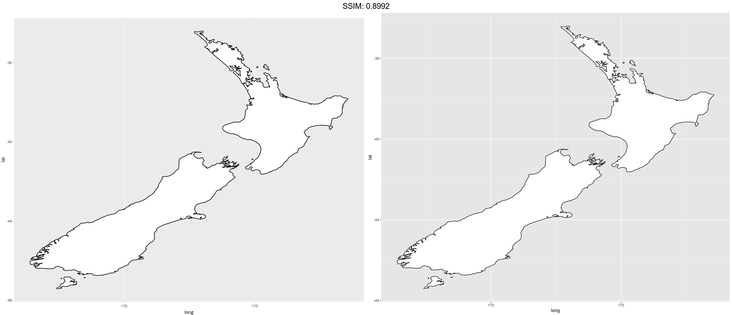
nz <- map_data("nz")
# Prepare a map of NZ
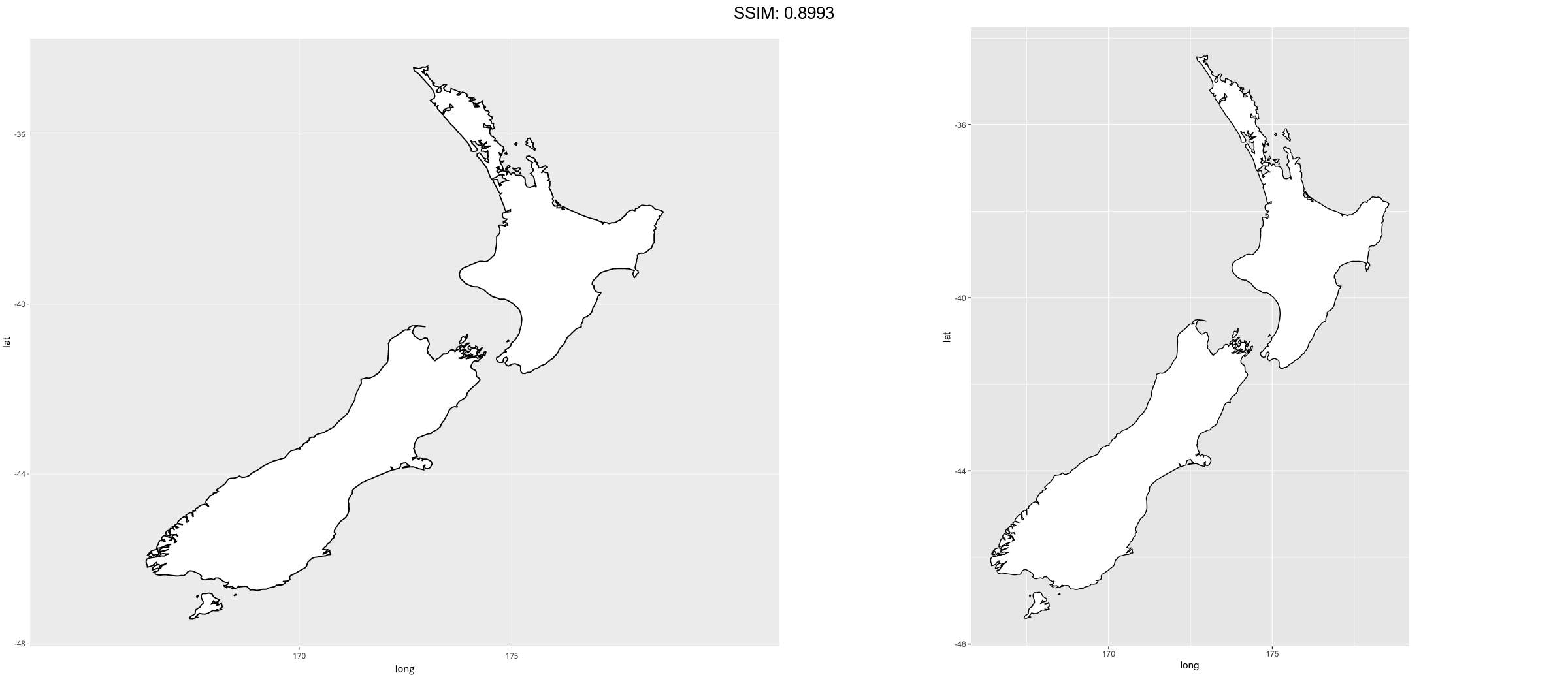
nzmap <- ggplot(nz, aes(x = long, y = lat, group = group)) +
geom_polygon(fill = "white", colour = "black")
# Plot it in cartesian coordinates
nzmap
}
plotly::ggplotly(p)

p <-
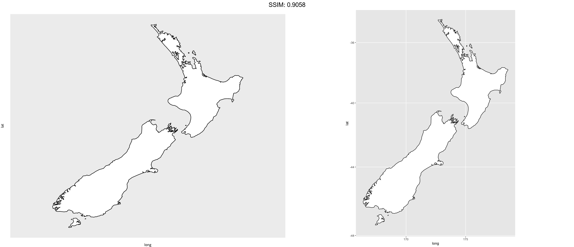
if (require("maps")) {
# With correct mercator projection
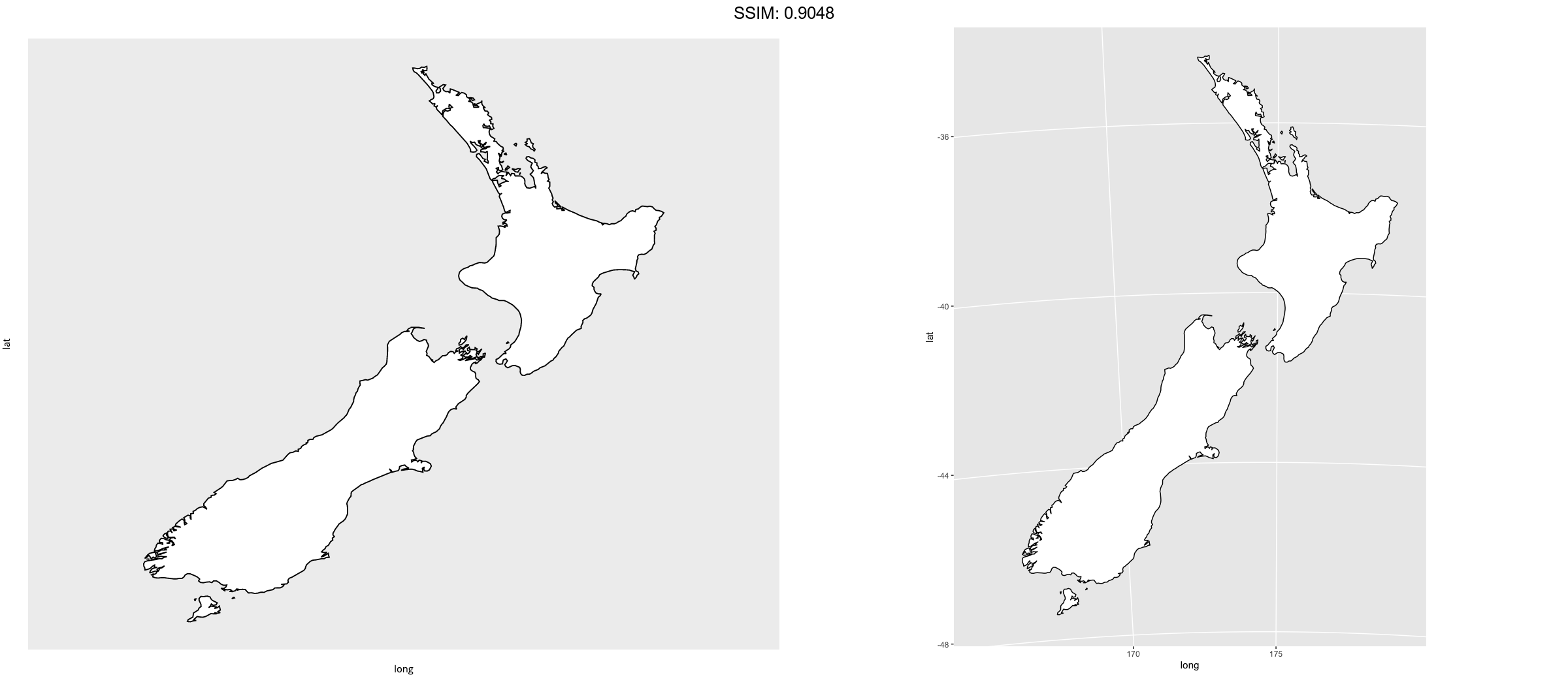
nzmap + coord_map()
}
plotly::ggplotly(p)
p <-
 if (require("maps")) {
# With the aspect ratio approximation
nzmap + coord_quickmap()
}
plotly::ggplotly(p)
p <-
 if (require("maps")) {
# Other projections
nzmap + coord_map("azequalarea", orientation = c(-36.92, 174.6, 0))
}
plotly::ggplotly(p)
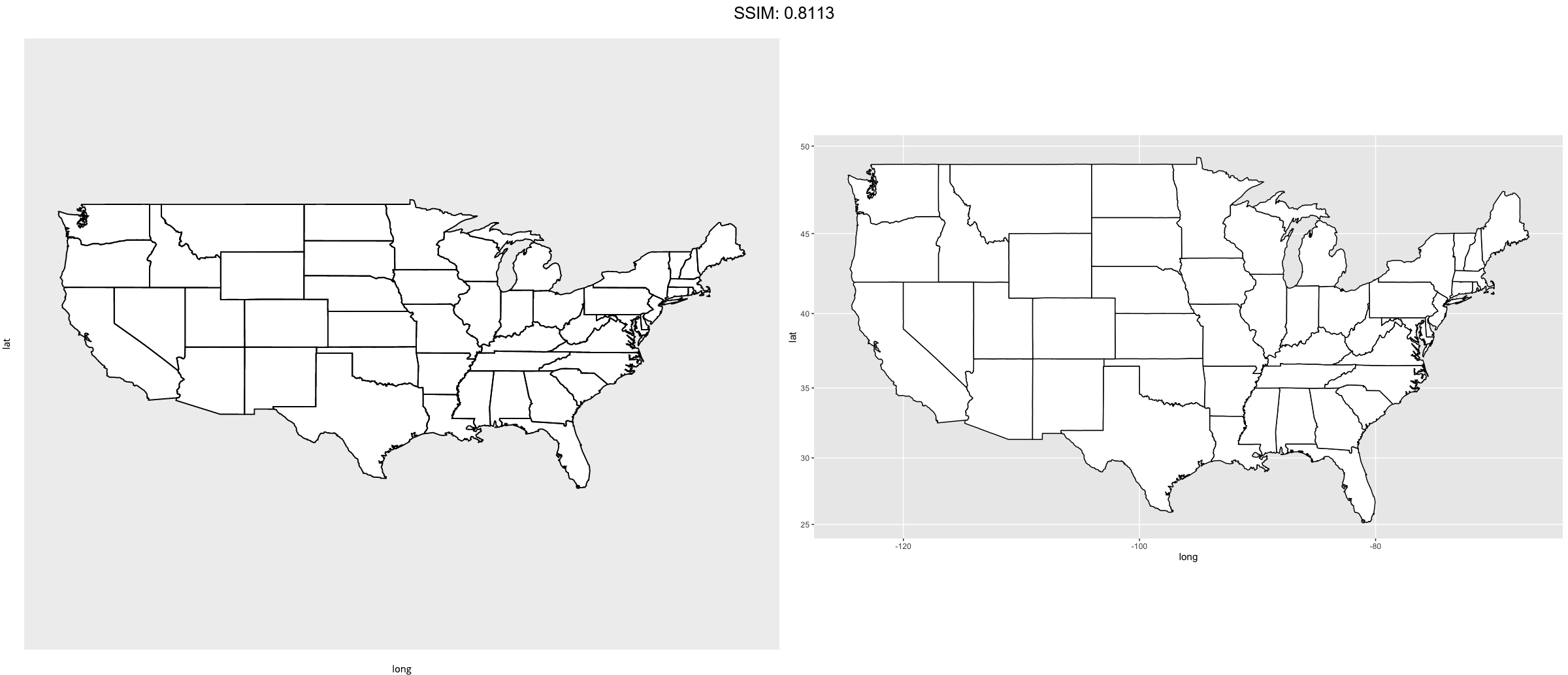
p <-
 if (require("maps")) {
states <- map_data("state")
usamap <- ggplot(states, aes(long, lat, group = group)) +
  geom_polygon(fill = "white", colour = "black")

# Use cartesian coordinates
usamap
}
plotly::ggplotly(p)
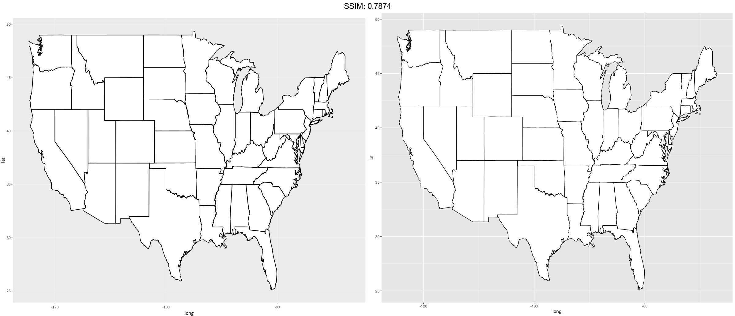
p <-
if (require("maps")) {
# With mercator projection
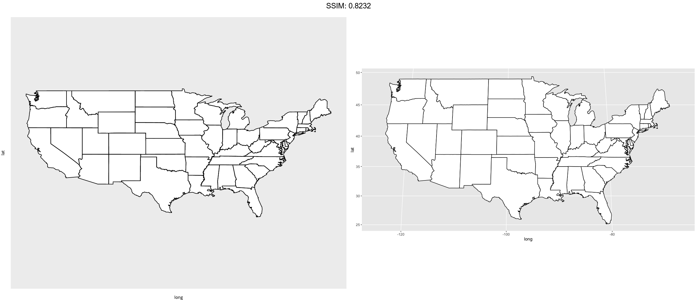
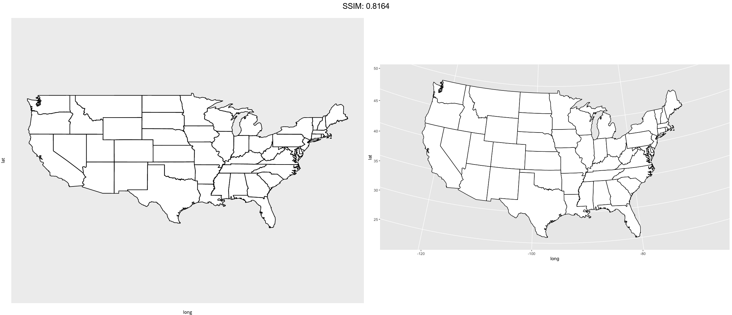
usamap + coord_map()
}
plotly::ggplotly(p)
p <-
if (require("maps")) {
# See ?mapproject for coordinate systems and their parameters
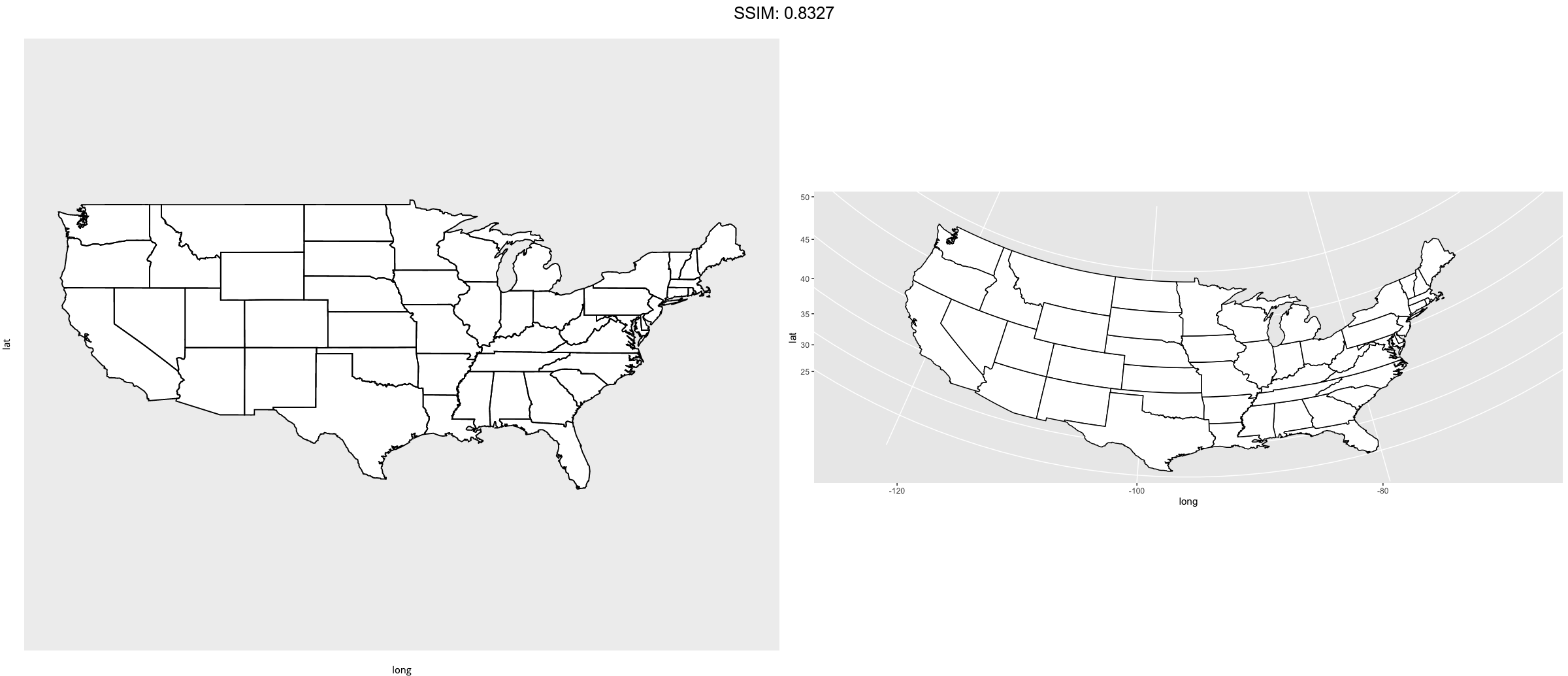
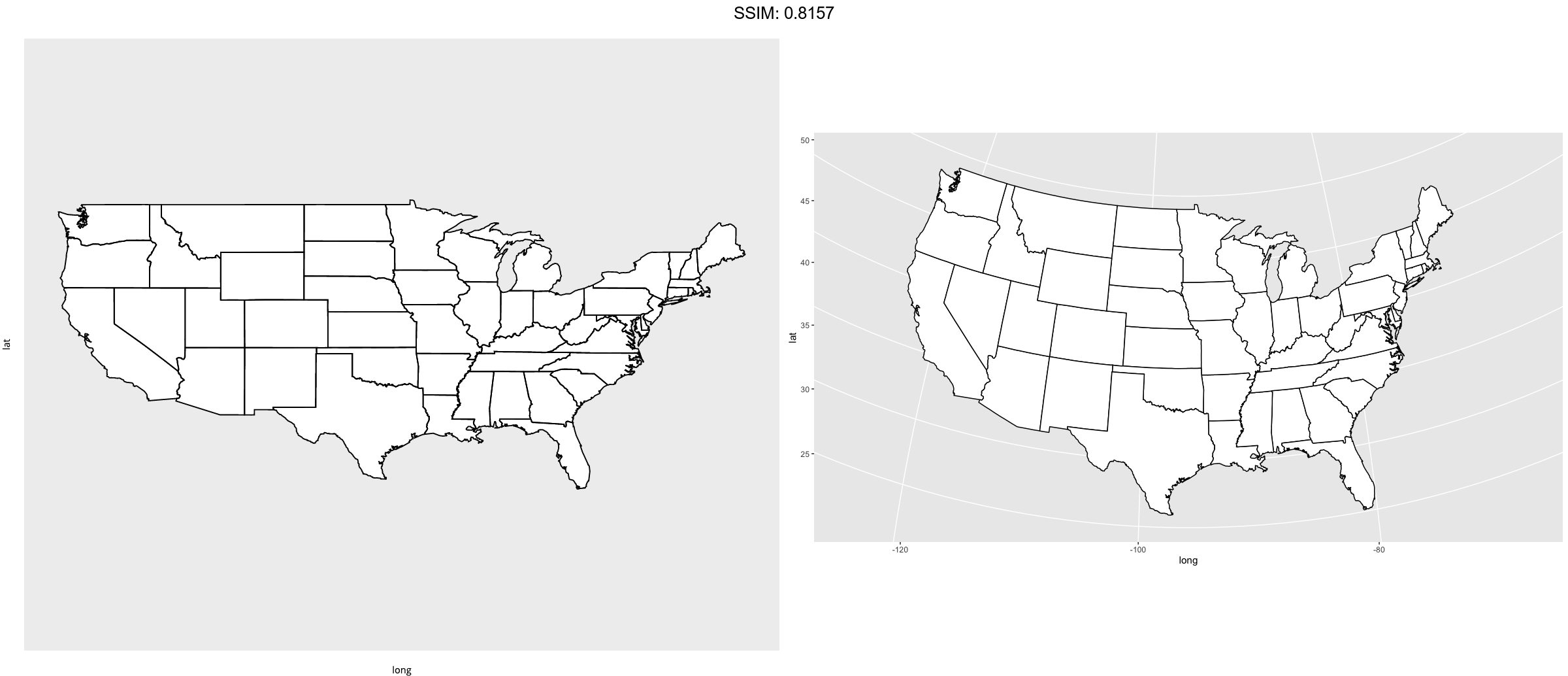
usamap + coord_map("gilbert")
}
plotly::ggplotly(p)
p <-
 if (require("maps")) {
# For most projections, you'll need to set the orientation yourself
# as the automatic selection done by mapproject is not available to
# ggplot
usamap + coord_map("orthographic")
}
plotly::ggplotly(p)
p <-
 if (require("maps")) {
usamap + coord_map("conic", lat0 = 30)
}
plotly::ggplotly(p)
p <-
 if (require("maps")) {
usamap + coord_map("bonne", lat0 = 50)
}
plotly::ggplotly(p)
if (FALSE) {
if (require("maps")) {
# World map, using geom_path instead of geom_polygon
world <- map_data("world")
worldmap <- ggplot(world, aes(x = long, y = lat, group = group)) +
  geom_path() +
  scale_y_continuous(breaks = (-2:2) * 30) +
  scale_x_continuous(breaks = (-4:4) * 45)

# Orthographic projection with default orientation (looking down at North pole)
worldmap + coord_map("ortho")
}

if (require("maps")) {
# Looking up up at South Pole
worldmap + coord_map("ortho", orientation = c(-90, 0, 0))
}

if (require("maps")) {
# Centered on New York (currently has issues with closing polygons)
worldmap + coord_map("ortho", orientation = c(41, -74, 0))
}
}
## Error in UseMethod("api_create"): no applicable method for 'api_create' applied to an object of class "shiny.tag"